FINNIAN Ó CIONNAITH
Four Courts Press
€35
ISBN 9781801511223
REVIEWED BY
Patrick J. Duffy
Patrick J. Duffy is Emeritus Professor of Geography at Maynooth University.
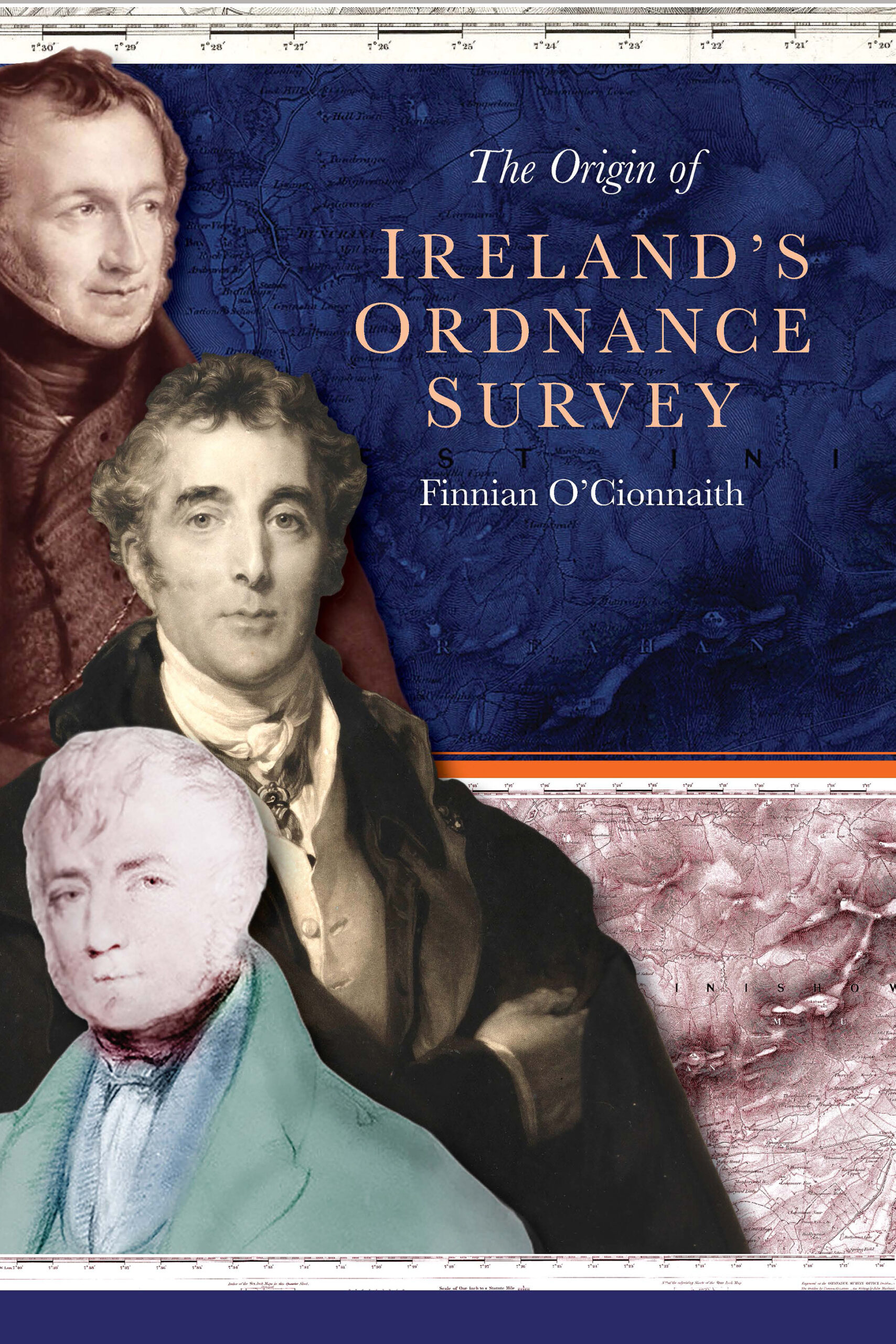
This year marks two centuries of the Ordnance Survey in Ireland. Finnian Ó Cionnaith, a qualified land surveyor and historian, focuses on the fast-moving origins of the Irish survey from its initial conception in February to its final report and commencement of the field survey in June 1824. The final printed maps began rolling off the press in the 1830s. This is a succinct summary of the origins of what was described by the Freeman’s Journal in 1824 as a ‘great national undertaking’. By 1830 the Survey had nearly 2,000 employees, moving from north to south as it measured and mapped the island’s landscape at an unprecedented scale of six inches to the mile.

One of the hallmarks of British imperial aggrandisement was the gathering of knowledge, especially spatial knowledge, about its territories in what today would be called databases—in maps, censuses and commissions of enquiry. It might also be seen as part of a colonial process to regulate and reorder a backward and impoverished society and economy following Ireland’s incorporation into the United Kingdom. The initial triangulation survey has been described as a powerful expression of State authority that made all its spaces and places legible to the imperial metropole. Under Major Thomas Colby, Ireland became Britain’s cartographic testing-ground for other parts of the empire. Colby was a Royal Engineer and a graduate of the Woolwich military school, which was at the vanguard of Britain’s imperial conquests.
The most pressing problem in Ireland in the 1820s was the need for a reformed land survey to correct a scandalously defective property tax based on the mid-seventeenth-century Down Survey, whose acreages and valuations were unreliable. Local land taxes or cess were based on Ireland’s intricate townland units, so accurate mapping and measuring were seen as fundamental prerequisites for an equitable valuation by the parliamentary commission chaired by Limerick MP Thomas Spring Rice. As Spring Rice pointed out, one barony in Limerick which paid cess for 53,000 acres of farmland actually contained nearly twice that amount of land. He wanted a ‘new accurate survey and valuation, by which each townland would be measured and assessed from a single standardized source’.
The British Army had already produced a military survey of the south of England at a one-inch scale in the 1790s, largely to address England’s vulnerability to invasion from revolutionary France. This scale was regarded as unsuitable for Ireland’s maze of small townlands, which did not exist in England. The Duke of Wellington, who was master general of the Ordnance, was keen on expediting the survey in Ireland without ‘his officers wasting their time performing such mundane duties’ as measuring townland boundaries. The Spring Rice committee, however, insisted on a tailor-made civil survey to support an accurate valuation of Irish land. Colby was determined to rely only on military surveyors for accuracy that he could control. A product of the emerging scientific age, he was dedicated to the highest standards of accuracy in mapping. This would be based on a scientifically accurate triangulation survey of the island. Although Ireland’s civilian surveyors had produced important surveys of individual counties, landed estates and regional boglands, only the Ordnance Survey, with the imprimatur of parliament, could undertake a comprehensive island-wide scheme.
The triangulation of the island, commencing with an accurately measured baseline along Lough Foyle, provided the skeleton on which to hang the detailed topographical survey of physical features and the critically important boundary survey of Ireland’s 63,000 townlands. These would be mapped and measured in acres, roods and perches, and an up-to-date valuation of the land could then take place. All the witnesses to the committee, including experienced valuation surveyors like Richard Griffith, emphasised the importance of the survey coming first, followed by the valuation of each townland based on the maps.
The Spring Rice committee reported by summer 1824 and its recorded discussions on what shape the OS would take form the core of Ó Cionnaith’s book. The triangulation survey commenced almost immediately along with the six-inch townland survey by Richard Griffith, who went on to conduct his magisterial land valuation of Ireland in 1846, which comprised the database for a new property tax. Interestingly, Griffith believed that only housing above a certain class should be surveyed, as he considered the poorer-class housing to be too transient to map. In the event all housing was mapped—an important record of pre-Famine landscapes. Thomas Larcom, another graduate of the Woolwich military academy, joined the Survey in 1826 and was especially interested in collating and standardising the townland names. As census commissioner in 1841, Larcom was later to make use of the six-inch survey for the census count. Scholars like John O’Donovan were employed to record the most accurate rendition of the Irish townland names. These researches and records comprise the Survey’s most important legacy. It is only now in the digital age that the monumental scope and achievement of the Ordnance Survey for understanding landscape and society in nineteenth-century Ireland is finally accessible to all.
